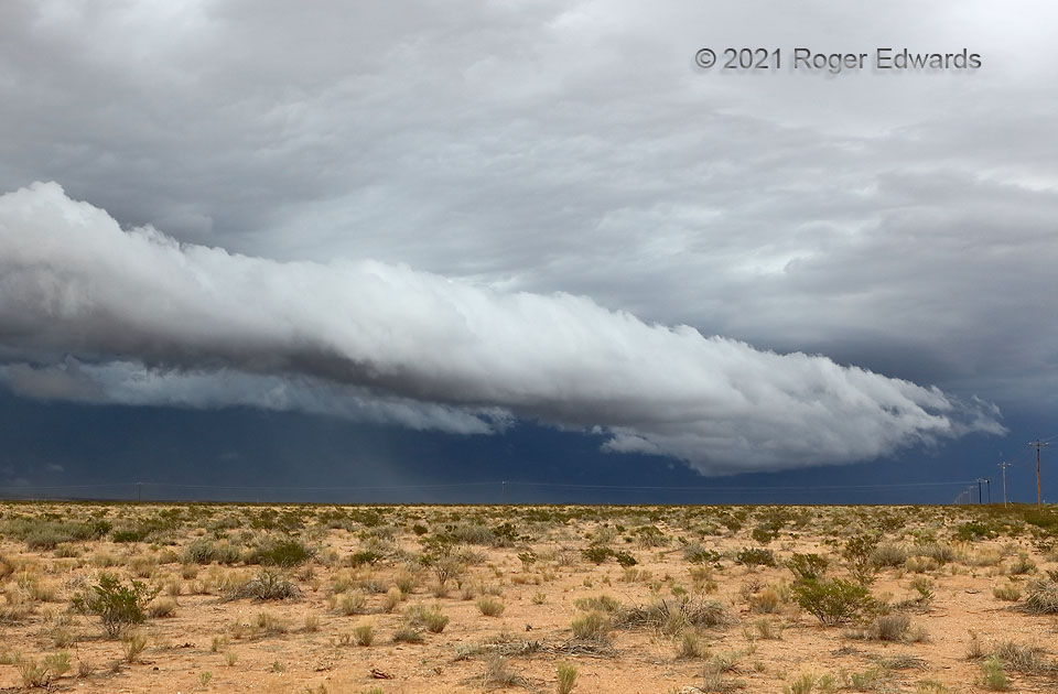
Starting high in the mountains above Silver City, a collection of multicell storms rushed out onto the deserts north of I-10 and aggregated their outflows, while new cells developed atop that. The resulting cold pool kept generating new thunderstorms as it swept southward and southwestward over the desert floor south of I-10 and toward the Mexican border from Lordsburg, occasionally raising dust, but best of all, producing a remarkable arcus cloud. Several days before a smoke plume from West Coast and Northwest wildfires reached the area, the skies were remarkably clean, helping to optimize contrast for this uncommon (in my experience anyway) west-to-east afternoon view of such a nicely defined shelf.
2 E Animas NM (5 Jul 21) Looking ENE
31.954, -108.7678
