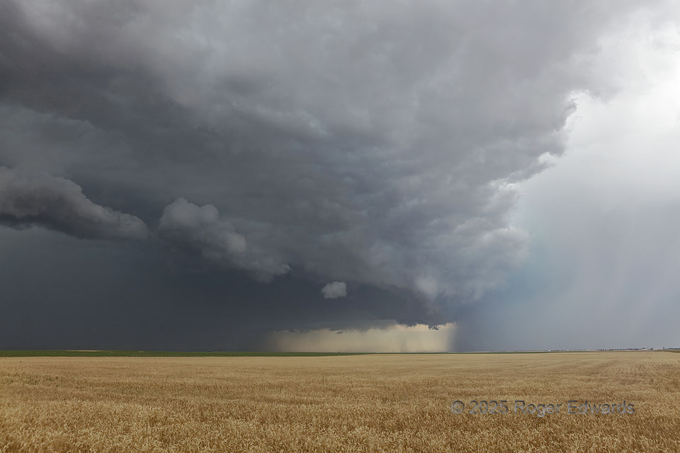
Fascinating events were happening in the sky here, with a clean Great Plains sky ensuring good visibility to see them. A left-moving supercell’s rain and hail core, at right (with turquoise tint) moved toward the northeast, or near right toward far left. That storm produced hail I measured up to 1.46 inches diameter, on the ground in Otis, a few minutes later. The remains of the left mover’s updraft base can be seen in the background as a scuddy lowered area, behind some non-rotating pillars of dust. The dust came from outflow of a loosely organized squall line that had begun from high-based storms near the Cheyenne Ridge, then surged toward the ESE with scuddy, chunky and incomplete arcus cloud leading the way. After the squall line ate the left mover, the resulting complex sparked a lightning-started fire closer to the Nebraska line, and ultimately,would yield a glorious sunset north of McCook. For July, this was an eventful chase day on the central High Plains.
5 ESE Akron CO (7 Jul 25) Looking ENE
40.1536, -103.1158