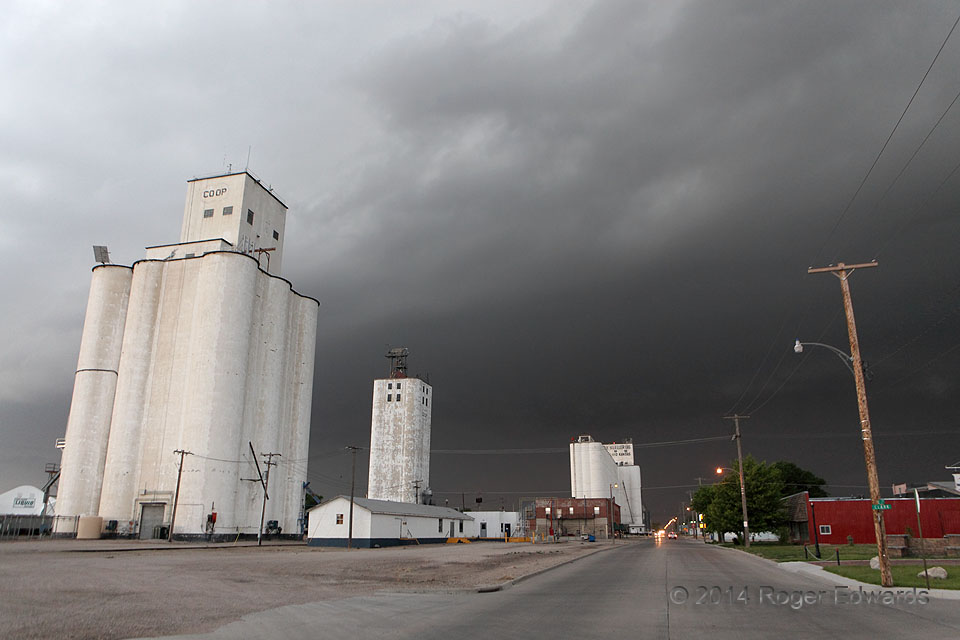
 After intercepting the supercell stage of this well-organized, damaging storm complex in eastern Colorado, we zoomed along to Goodland and protected our vehicle from the baseball-size hail and severe outflow (while en route down the Interstate, we deliberately had located a south-facing car wash online). Then it rolled quickly into town, menacing the citizenry with this dark pall of gloom, before hurling severe gusts and 2–3-inch hail at the same time. Overnight, the storm complex would continue growing upscale and even more severe, producing 89-mph gusts near Atwood KS, numerous other reports of hurricane-force winds, hail 4 inches in diameter in nearby Cheyenne County KS, and an extensive swath of damage on both side of the Kansas-Nebraska line all the way to the Missouri River. At our motel in Colby, damaging rear-inflow winds continued for over an hour after the storm, throttling and rattling the motel sign very audibly from within our room.
Goodland KS (14 Jun 14) Looking W
39.3416, -101.7088
Darkening Goodland
 After intercepting the supercell stage of this well-organized, damaging storm complex in eastern Colorado, we zoomed along to Goodland and protected our vehicle from the baseball-size hail and severe outflow (while en route down the Interstate, we deliberately had located a south-facing car wash online). Then it rolled quickly into town, menacing the citizenry with this dark pall of gloom, before hurling severe gusts and 2–3-inch hail at the same time. Overnight, the storm complex would continue growing upscale and even more severe, producing 89-mph gusts near Atwood KS, numerous other reports of hurricane-force winds, hail 4 inches in diameter in nearby Cheyenne County KS, and an extensive swath of damage on both side of the Kansas-Nebraska line all the way to the Missouri River. At our motel in Colby, damaging rear-inflow winds continued for over an hour after the storm, throttling and rattling the motel sign very audibly from within our room.
Goodland KS (14 Jun 14) Looking W
39.3416, -101.7088