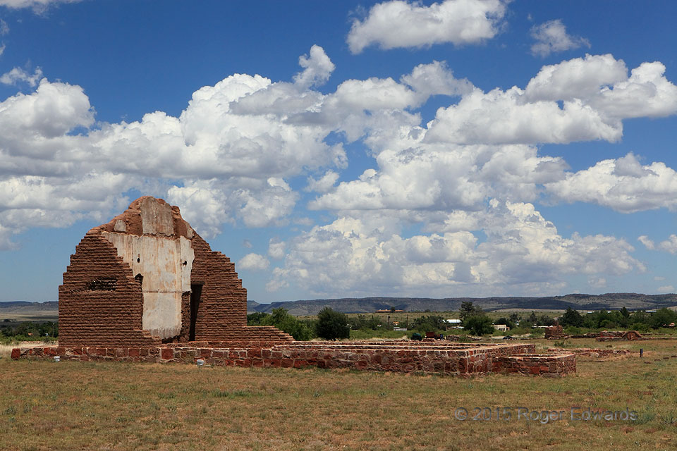
One of the most common cloud types over land or water, whether at high elevation or low, or in between as here, cumulus mediocris (middle-depth) decorate the skies above unstable boundary layers. When convective clouds are present at such depth and density from late morning through early afternoon, as true here, deeper development into thunderstorms may be drawing nigh. In this case, the dryline mixed off the Davis Mountains for a short distance soon after this shot, and thunderstorms did form to the east within about 3 hours.
Fort Davis TX (22 May 15) Looking ENE
30.6001, -103.892