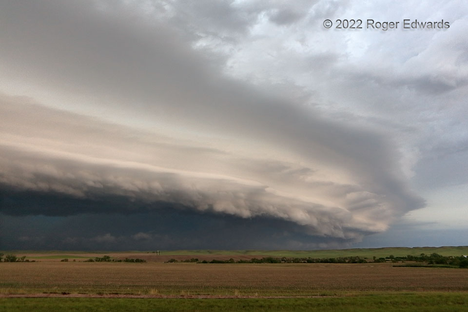
[Part 3 of 3] This had all the signs of a spectacular but dangerous storm complex, with deeply embedded and large mesocyclone, flash flooding, severe wind, and hail, of the sort much better appreciated from the outside than within. This multiply tiered arcus, front-lit by indirect and warming sunlight tones from the east, posed nicely for the camera before roaring off to the east (right) and into the electrically active evening darkness. [Back to Part 1]
2 WNW Cottonwood SD (12 Jun 22) Looking NNE
43.9709, -101.9484
