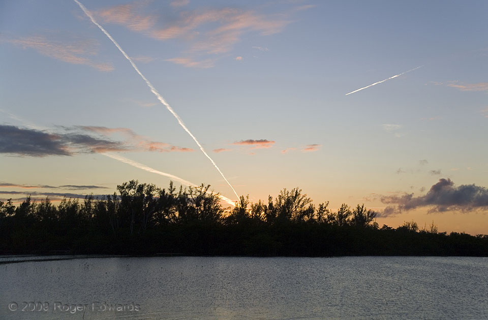
Here, several layers of cloud texturized the scene over the lower Florida Keys, the lowest being fractocumulus, lit orange in the setting sun’s rays, then pale-orange tufts of altocumulus, then a few thin cirrus patches and these contrails: highest and whitest, catching the rays least filtered by intervening atmosphere. Back before flight-tracking smartphone apps, I only could guess the itineraries of these planes, and the tracks at left extrapolated to paths between the southwestern U.S. (Texas, Arizona, California) and the eastern Caribbean. Perhaps the one at right was headed from Europe to Mexico City.
Sugarloaf Key FL (4 Jan 9) Looking WSW
24.6473, -81.5664
