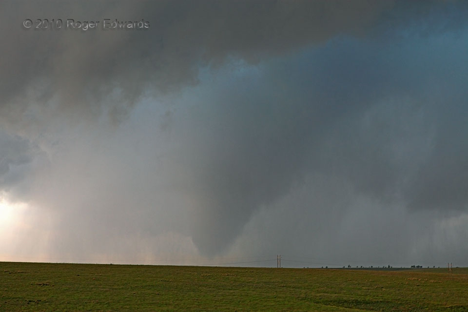
The lower reaches of the “Slapout tornado” assumed a fuzzy cone shape, while the upper portion tilted visibly westward back toward the slower-moving, mid-level mesocyclone. The rainy occlusion downdraft carved a narrow moat of relatively cloud-deprived air around the upper part of the visible tornado, though which fascinating hues of blue-green shone from above. Meanwhile, a few suction vortices appeared very briefly during this stage, each quickly darting part-way around the base of the main tornadic circulation before dissipating.
5 NW Logan OK (13 Jun 10) Looking SSW
36.6159, -100.2853
