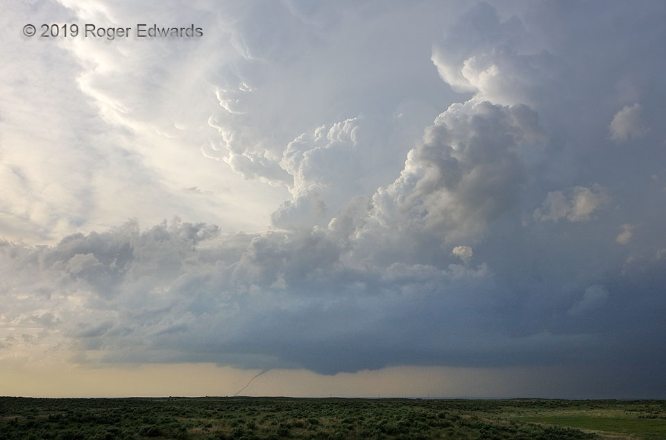
The pinnacle of High Plains storm observing is the sculpted, brilliantly lit supercell beyond green, rolling prairie, with warm, moist inflow at the back, meadowlarks singing…and a tornado beneath. We were in Oklahoma, and the tornado that began near the state line was in Kansas. As this vortex stretched along its journey to demise, a new wall cloud developed to its southeast (right) in classical cyclic fashion. In case the new mesocyclone would produce another tornado (it ultimately did not, though a tornado series started nearly an hour later), we stopped only briefly here before proceeding northward for a closer view. On location, I wished I could freeze this moment, or at least slow it down greatly, in all its delicately resplendent grandeur! Alas, the storm was moving fast, away from us, and the tornado vanished in less than another minute. Thankfully we have photography to preserve a wide-angle image of this hastily experienced memory for even fuller appreciation, and for life.
5 E Forgan OK (17 May 19) Looking NNW
36.9071, -100.4614