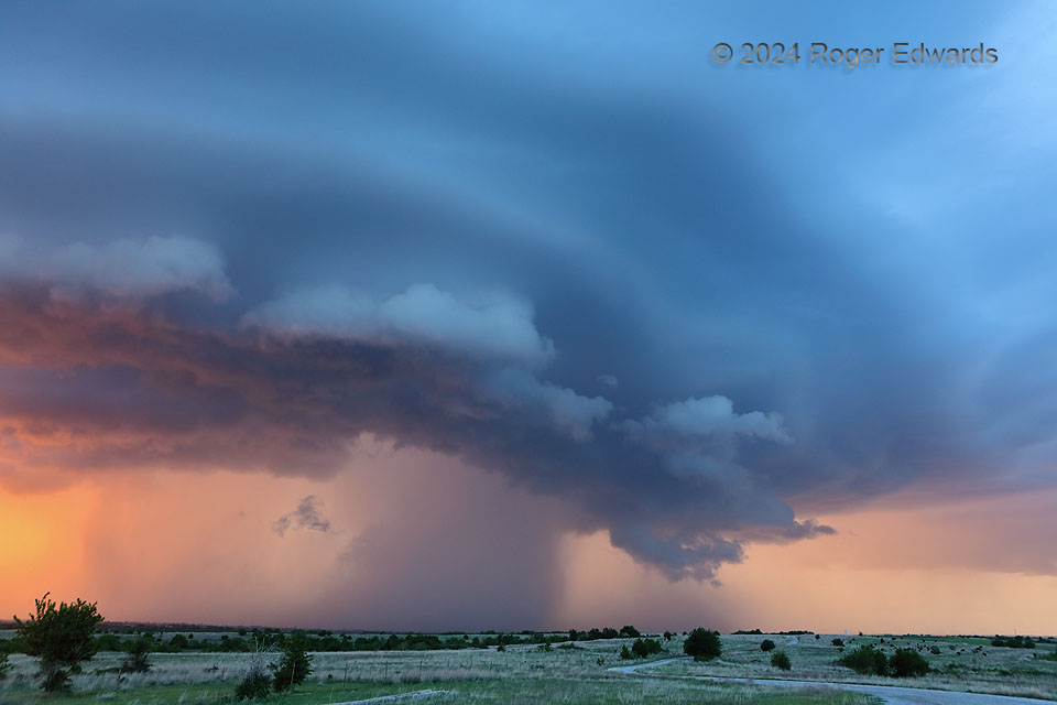
Sometimes the unplanned and unanticipated scenes become the most memorable, special and satisfying. On the next day after a messy, fast-moving supercell intercept that yielded two unremarkable photos total, the mid/upper trough past and low-level moisture reduced. Little was expected, yet much was found! A small cluster of high-based thunderstorms erupted shortly before sunset not far southwest of the OKC area, and let this wondrous blend of lower warm hues and upper cools filter through.
1 N Bridge Creek OK (28 Apr 24) Looking NW
35.2481, -97.7343
