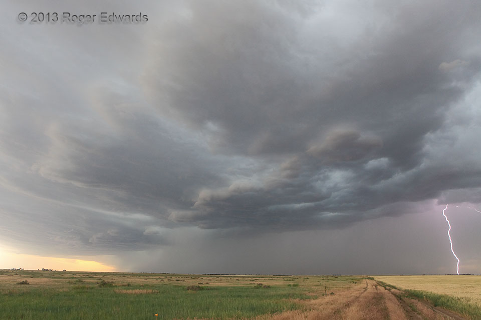
The trailing portion of a band of high-based thunderstorms slowly became more photogenic as it swept eastward across the Colorado plains, and its outflow constructed a shallow arcus cloud. Then, as so often happens on the edge of a core, including earlier with the same convective cluster, a cloud-to-ground stroke split the sky and sent waves of thunder booming across the High Plains.
2 S Woodrow CO (23 Jun 13) Looking W
39.9736, -103.5919
