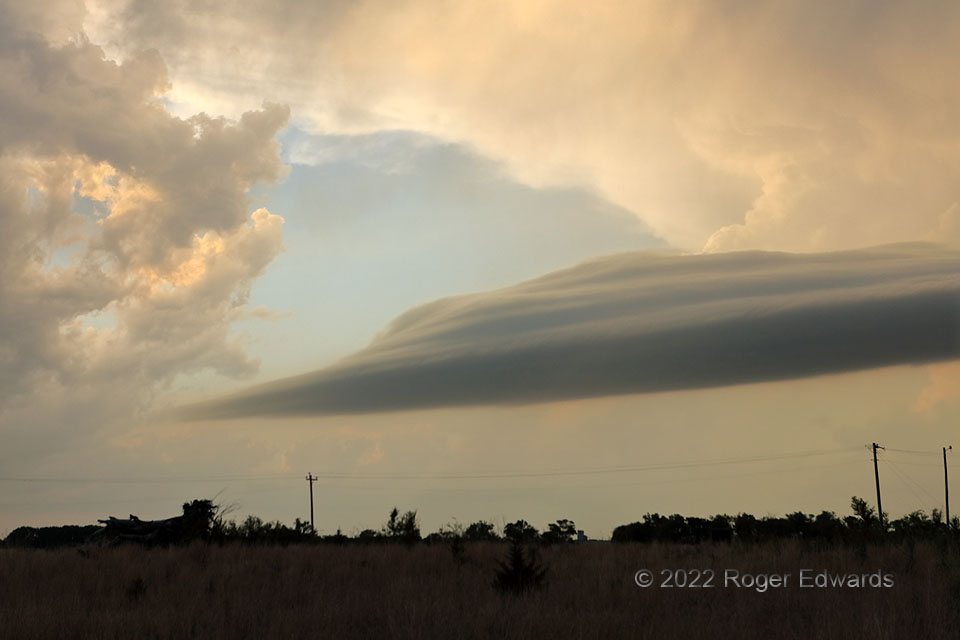
Convectively caused but not convectively structured, laminar yet not entirely lenticular, detached yet dependent, this layered cloud band reminded me a great deal of a tail cloud, but wasn’t. Later, it would become part of a tail feature connected the supercell here unseen at left (a storm definitely subject to attention and amazement!). This feature’s structure and basic formative process on the edge of thin, forward-flank precip curtains reminded me a lot of a larger, similarly tiered supercellular tail cloud witnessed 12 years earlier in the Texas Panhandle. In this view, however, another supercell’s towers and backsheared anvil can be seen in the background, bathed in the same early-sunset light that reflects twice to reach eyeballs from the top of the unnamed cloud swath.
7 S Manchester OK (13 May 22) Looking NNW
36.8976, -98.0378
