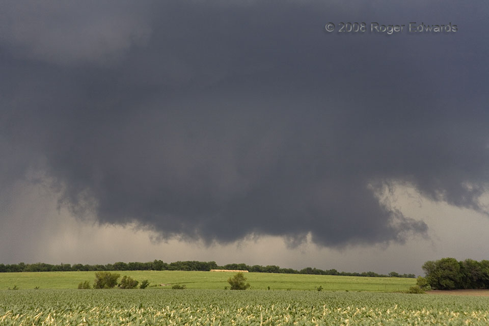
This storm spun out of the Flint Hills as part of a chain of mostly messy supercells, carrying with it a load of heavy precipitation and the related baggage of smaller storms dragging along its immediate rear flank. Somehow, unlike with most of several other low-level circulations we saw on this fine day of eastern Kansas storm observing, this strongly rotating and classically formed wall cloud stayed visible for 10–15 minutes before wrapping in rain, and even produced a short-lived funnel cloud.
Saffordville KS (12 Jun 8) Looking NW
38.4069, -96.3918