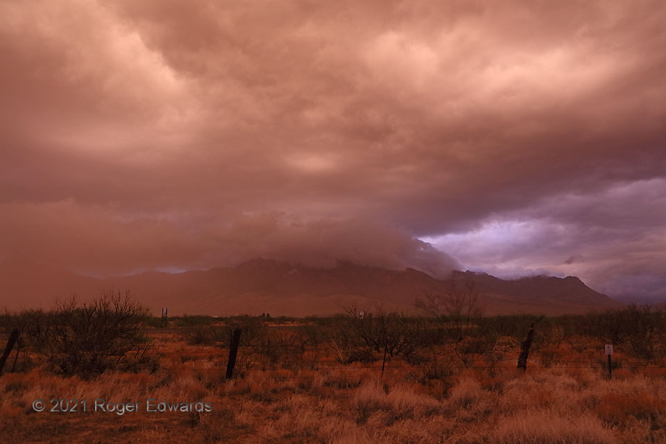
[Part 1 of 2] Standing exactly astride the Arizona/New Mexico line on a dirt road, I watched this astounding twilight scene unfold, just after sunset. A short-lived storm had formed over the Chiricahua Peak, tallest mountain in the range of the same name, as moist outflow air from an earlier convective event to the northeast was forced to rise upslope. As that storm weakened and its cloud base rose, a cap of outflow-formed scud enveloped the mountain’s upper reaches and stayed for several minutes. Meanwhile, the clouds above turned a fascinating shade of coppery orange-tan, coloring the desert landscape. This almost certainly was filtered light from above, where nearly the last direct sunshine of the day struck higher, residual, unseen storm clouds. Over just a few minutes, this color would dim, evolve to a weird magenta hue, and temporarily brighten again… Go to Part 2.
3 NW Rodeo NM (5 Jul 21) Looking WSW
31.8712, -109.049
