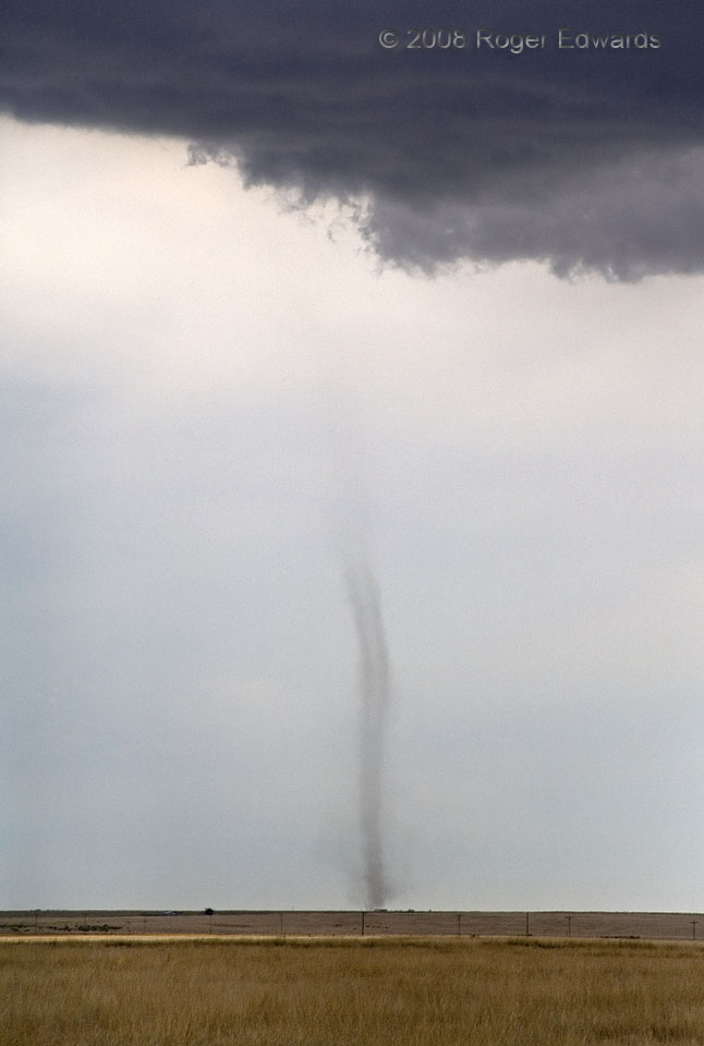
From underneath otherwise innocuous looking towering cumulus clouds sprang forth this “landspout” tornado, so called by storm spotters because its appearance is similar to tornadoes over water (waterspouts). One of three that occurred in a ten minute span from these towers, this was the only one with good, sharp definition. We were cruising W along US 40 in extreme eastern Colorado, watching a weak left-moving supercell to our NW, when I glanced to the left and saw this unmistakable dust tube beneath a completely separate line of immature convection. After a short episode of ‘spout production, the line of storms filled in and became a mushy, rainy multicell band within about 45 minutes.
6 W Cheyenne Wells CO (19 Jun 8) looking SSW
38.8101, -102.4572
