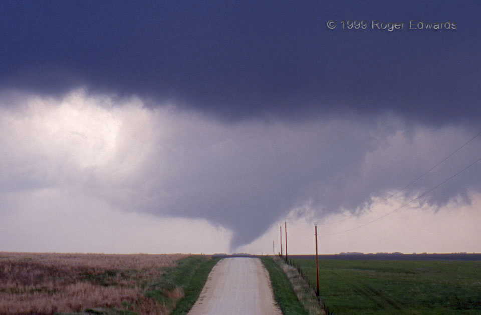
Yes, Dorothy, we’re back in Kansas. This classic prairie tornado formed less than 30 seconds before crossing a lonely gravel section road southwest of Stockton. Right as it did, the condensation funnel first contacted ground, although the tornadic circulation probably was fully in place just before. [Remember, tornadoes don’t “touch down”! In fact the air in them is rising.] We had turned west on this road after seeing amazingly fast rising and sinking motions suddenly form around what had been a ragged wall cloud, and started shooting film slides immediately after tornadogenesis. The clear slot is classic supercell structure, formed as sinking air evaporates cloud material and wraps around the mesocyclone. The rotating slice of sinking air really is part of the mesocyclone, and is called the occlusion downdraft. The occlusion downdraft is a small part of the thunderstorm’s entire rear-flank downdraft (RFD), which extends well away from the mesocyclone.
5 SSW Stockton KS (15 May 99) Looking W
39.3717, -99.3016
