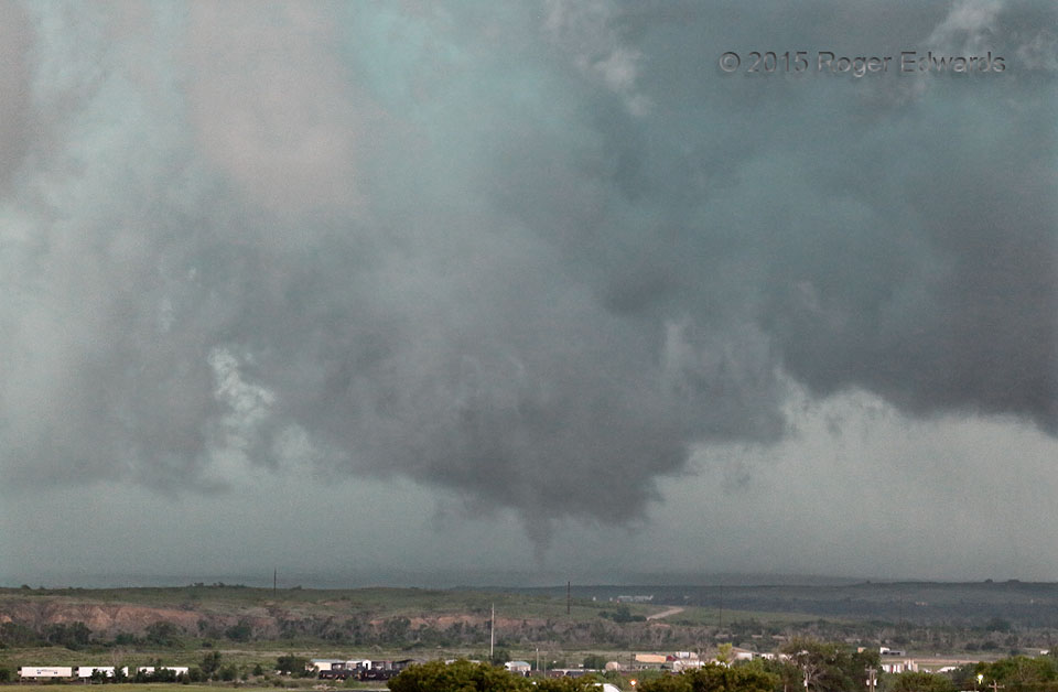
After a small multivortex tornado spent a few minutes diving southward in an elongated mesocyclone or cyclonic-shear zone, the entire, merged Canadian storm complex started a major rain dump and surged eastward. That process destroyed all the original shear zone, but not before this last, northern segment tightened up and pulled a “fast one” in the ragged remains of an updraft. This brief, somewhat rain-wrapped tornado lasted less than 45 seconds, as an unexpected bonus spinup to cap off a fine chase day in the northeast Panhandle.
1 SSW Canadian TX (27 May 15) Looking NNW
35.8882, -100.3959
