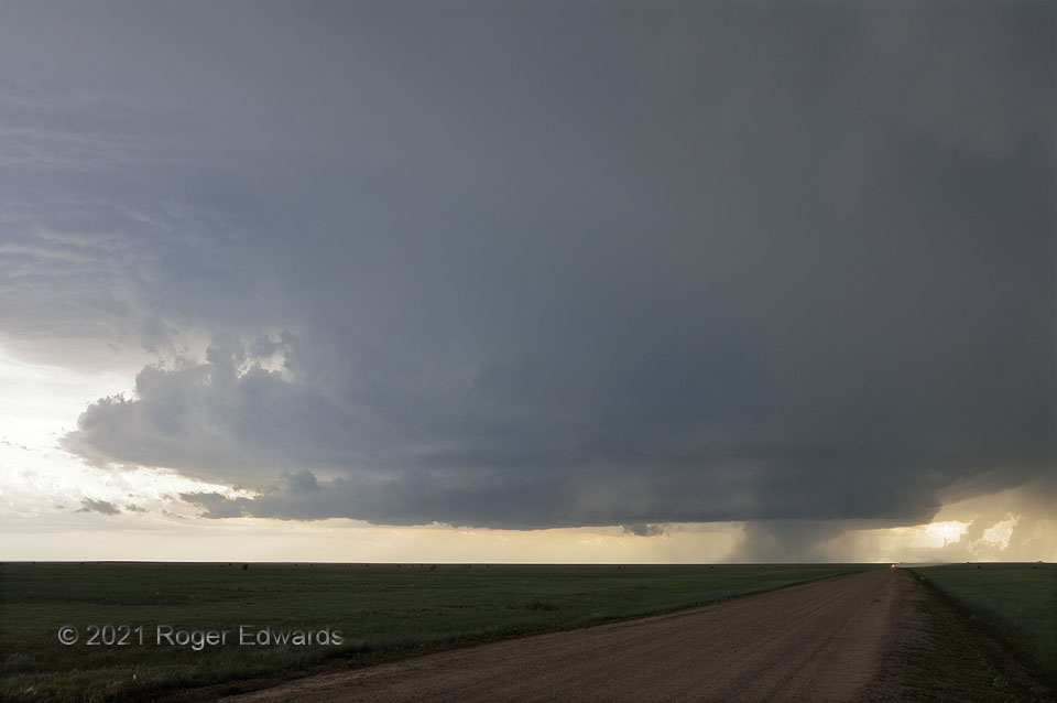
To an avid storm observer, a nicely developed Great Plains supercell is akin to a delicious upside-down cake. A tornado is uncommon and just a “cherry on top”—or in this case, a cone on the bottom (right). In this wide-angle perspective west of Campo, CO, the tornado was widening and weakening at this point, after being a fairly stout, tall tube within its cage of rain and hail. Though this supercell wouldn’t produce any more real tornadoes (just erroneous reports with low-hanging scud chunks and ragged wall clouds in the Oklahoma Panhandle), it stayed well-structured for a few more hours. Remarkably, I saw two rain-wrapped tornadoes the same month, 500 miles apart, that assumed a similar fat-cone shape—the other being 26 days earlier near Blum, TX.
13 S Pritchett CO (29 May 21) Looking WSW
37.1487, -102.8511
