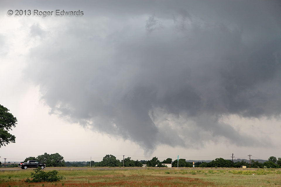
After a protracted, slow-moving spectacle of supercell structure and a couple tornadoes, the former Millsap supercell developed a new mesocyclone very close to, perhaps even somewhat over I-20, which then retreated slightly northward and deeper into the storm before producing this fuzzy, tilted, conical, sporadically multivortex tube. Drivers were very fortunate that this supercell didn’t spin the tornado up over the highway, as the broader storm’s southeastward motion would have indicated.
2 NW Brock TX (15 May 13) Looking WNW
32.7004, -97.9611
