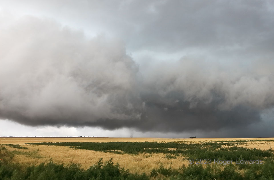
For once, I was in optimal position to see such a process briefly become tornadic before being undercut. This was one of a handful of successive tornadic subvortex spinups under the area of rapid rotation at lower middle, described reasonably well by a different spotter as a short-lived, weak multivortex. [The faint wisp of another subvortex barely lingers just to the left of the obvious column.] The foreground scud was racing left to right, the back of the dark mass behind, right to left, with temporarily intense convergence and rotation at cloud base. Within 2 minutes at most, this action area got plowed under by outflow, thanks to a separate supercell behind this one that had become outflow-dominant and accelerated eastward. A series of gustnadoes (shallow, non-tornadic whirlwinds common to outflows) commenced in their combined rear-flank downdraft’s outflow surge, one of which I nearly penetrated while escaping back south.
4 N Bethune CO (30 Jun 23) Looking WNW
39.3584, -102.4277
