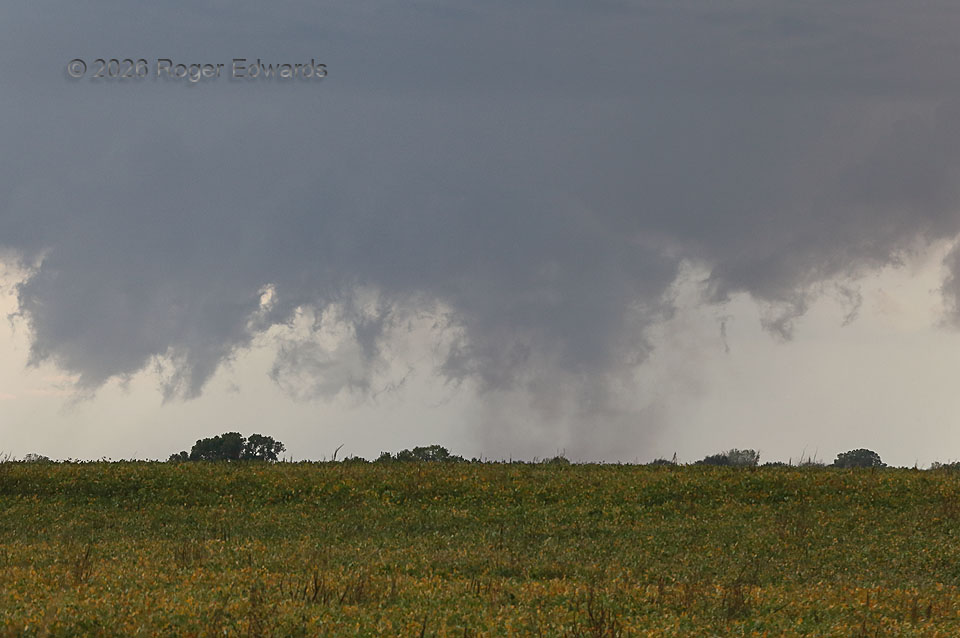
Though the closer supercell to me (to the west) had a more interesting visual structure at the time, its more distant, southwestern companion started showing strong cloud-base rotation and some smudgy, suspicious dust and/or condensation beneath. That compelled urgent and focused scrutiny that I couldn’t safely undertake while driving. I pulled over, conveniently across from a field of early-fall wildflowers, ran across the highway and aimed the zoom lens in this direction, barely able to catch the last 30 seconds or so of a diffuse but definite tornado. Occasional scuddy chunks and tendrils of condensation raced helically upward from the ground, amidst a broader area of dust that itself spun in sync with the rotation above. All this happened just to the right (northwest) of the center of the wall cloud. Outflow from the northwest soon undercut the parent circulation, and the next mesocyclone failed to produce a tornado. Meanwhile, the closer northern supercell dissolved into a backbuilding squall line that eventually absorbed this storm as well.
6 N Hazelton KS (13 Oct 26) Looking SW
37.1755, -98.4034