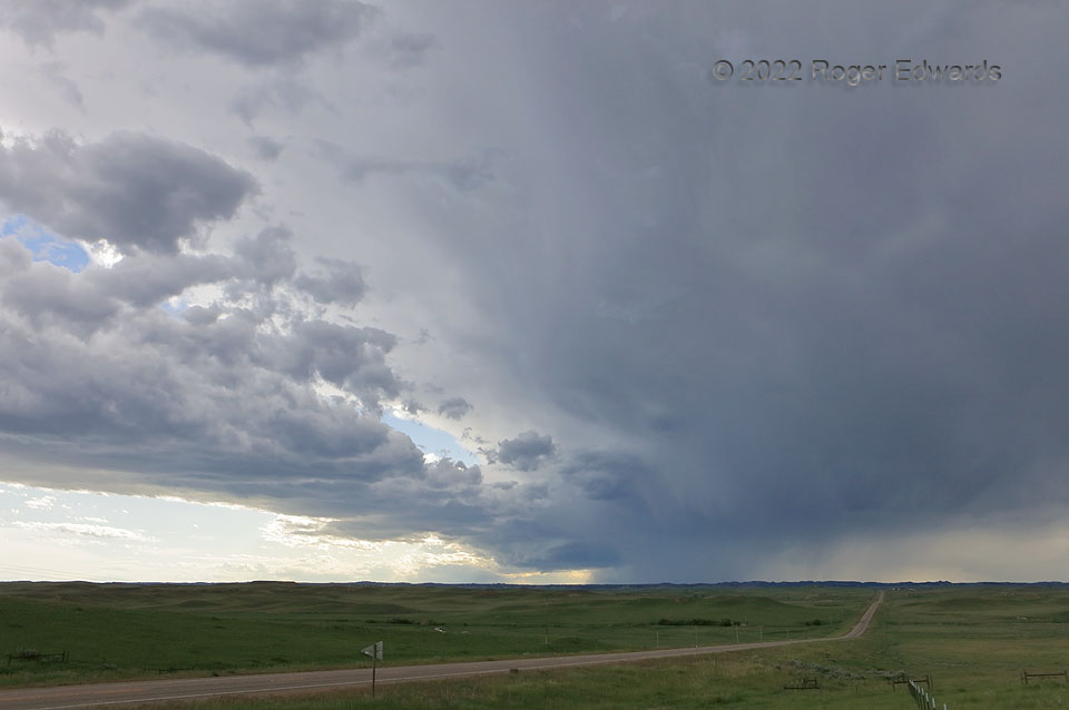
Viewed at wide angle, a small supercell seems even tinier in the context of the tremendous amount of cloud material it already has processed, to the extent one wonders how so much mass can be pumped aloft through such a narrow chimney, including all the rain and hail being condensed from it. The secret’s in the spin. Not the political kind, but literally: the internal dynamics of the rotating storm, whereby a vortex (loosely akin to an upside-down version of your bathtub drain) becomes the most efficient means of moving mass through a fluid. The fluid, of course, is the atmosphere, and the buoyant, unstable low-level air was being lofted. The long band of clouds, from leftmost edge of the shot into the updraft region, denotes an airmass boundary (a front) at cloud-base level, upon which the supercell was attached and moving quickly. In addition to the deeper vertical shear, the lift and vorticity concentrated along that front helped to focus and maintain the storm and its rotation. This supercell lasted for hours, as it swept from near Billings, across the area near the geographic boundary of Wyoming and Montana, and into western South Dakota. Being associated with a real airmass boundary and state lines, this is the “boundary supercell” in two ways.
5 S Olive MT (11 Jun 22) Looking WSW
45.4744, -105.5387
