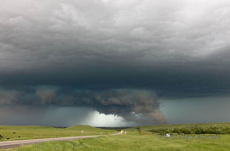
This deep, dark, fast-moving supercell had been going for over 150 miles, three hours and three states, but was cranking up to its most intense levels yet. Channels of rain-cooled air from the forward flank can be seen readily at right, as cloud tracers rising off the ground at an angle, and into the back of the wall cloud, which was broadly but obviously rotating. Unfortunate residents of Belle Fourche—mainly engulfed by the hail-filled hook region at left—were under full-throttle storm attack by this time. Significantly severe winds and 4-inch hail busted windows, signs, vehicles, and vegetation all over town. The motel where I stayed that morning lost its roof covering, west-facing windows and a lot of siding. The mesocyclone and increasingly peachy-tinted wall cloud soon would sweep northwest to north of me, as I headed back southeast toward the speedy space-making option of I-90 and photographic opportunities east of Rapid City.
5 NW St. Onge SD (12 Jun 22) Looking WNW
44.6035, -103.7798
