[Click Image to Enlarge]
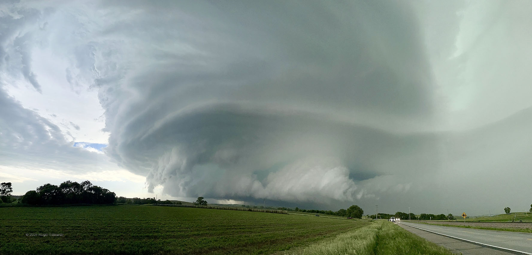
In panoramic shots, storms are closer than they appear, and this one was churning right down the highway toward me with the upper middle parts nearly overhead. This rather fast southeastward-moving storm, consistent with its deep turquoise innards, was dropping copious amounts of severe hail, and occasionally showing enough low-level rotation to make an observer concerned for tornado potential. No tornadoes happened, but the supercell (formed from a merger of two prior ones that developed over the Sandhills) provided an hours-long visual feast for those who could stay ahead.
3 NW Ansley NE (7 Jun 24) Looking SSW-NNW
41.3179, -99.4313