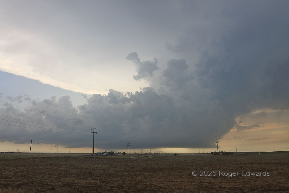
With a remarkably similar storm-relative view as another supercell a month earlier, I was not as confident in the tornado potential of this one anytime soon. As beautiful and well-built as this storm appears, one problem became evident as son as the base came into view. It was relatively flat, fuzzy and elongated, without a substantial tail cloud extending into the forward-flank core region. That told me the storm was somewhat northwest of (behind) a mesolow and outflow boundary, its inflow at least slightly elevated and not directly surface-based. This was a position verified by cool, post-boundary temperatures in the 70s that continued as I got closer. Unlike an initially surface-based storm in west Texas that went over the cool side the previous month, this one formed in the cool side, yet had highly visible structure without intervening low clouds or dust at this time. This storm would proceed southeastward across the rest of the width of the Oklahoma Panhandle and much of the northeastern Texas Panhandle, before being absorbed into a newer, surface-based storm forming in its immediate inflow region.
3 WSW Balko OK (17 Jun 25) Looking W
36.6168, -100.7387