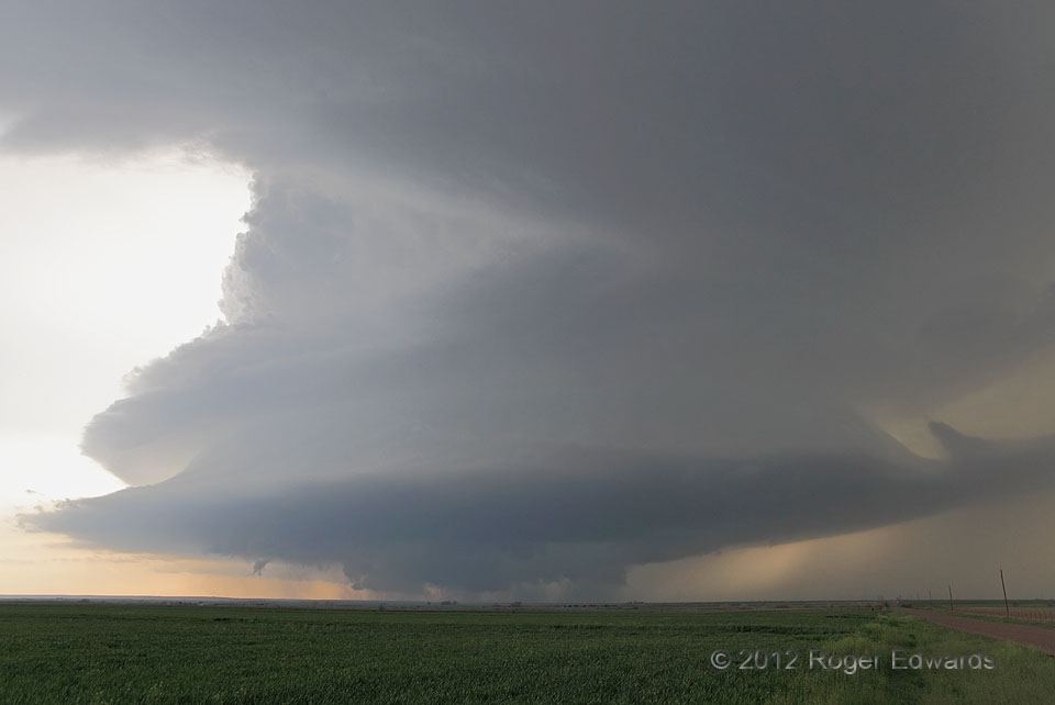
Zigzagging northeastward across southwestern Oklahoma, my daughter and I had observed two supercells merge to produce this spectacular specimen. A younger storm colliding from the south ran into a higher-based, longer-lasting and cleaner storm, which we had observed down by Hollis. The result of such a blend of storms usually is either the messy degeneration of both, or a more precip-laden and really large supercell. Fortunately for our endeavors, it was the latter. Once the merger was complete, the storm put on this gaudy show of bands, striations and robust updraft structure. Just a few minutes after the shot, the storm produced a brief, small, anticyclonic tornado under the left side of its base. After a subsequent occlusion cycle, it eventually spawned two mesocyclonic tubes, proving that storm mergers aren’t necessarily deleterious to tornado production.
1 WSW Brinkman OK (18 Mar 12) Looking SW
35.0019, -99.5397
