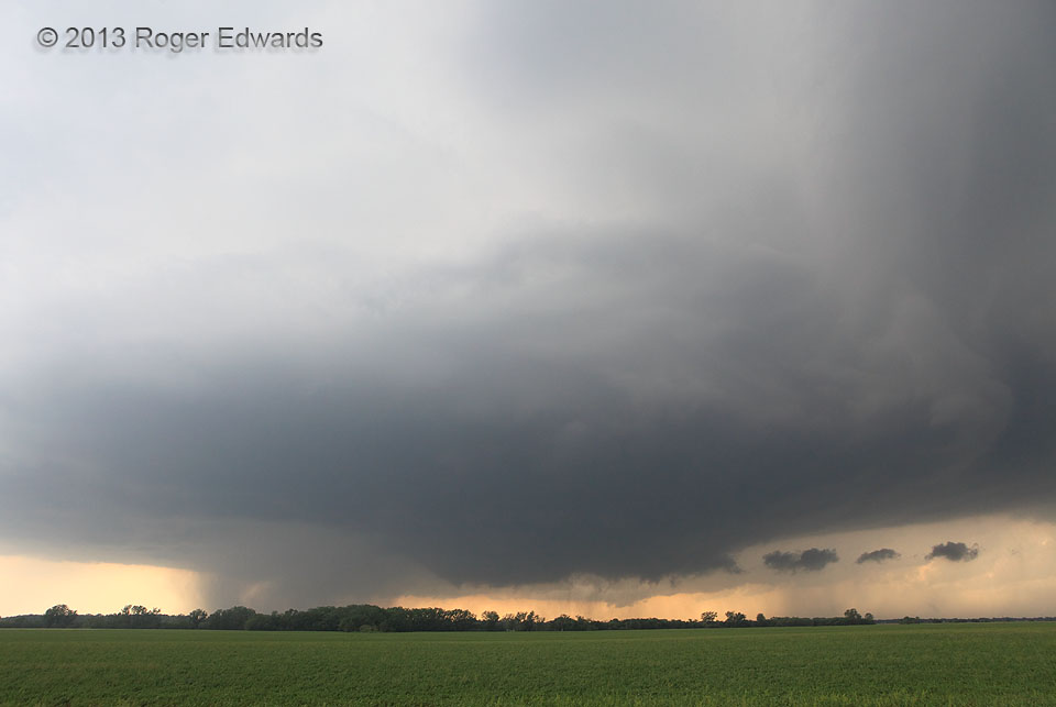
The infamous Bennington supercell already had spun up a brief, small tornado from the cloud-base area at left rear–a vortex visible to us in the distance while we were in transit westward. We had just arrived at this spot in time to shoot a few wide-angle shots like this of the marvelous, slow-moving storm anchored to an old, stationary frontal zone. Cloud motions curved inward toward a tightening cloud-base mesocyclone and rotating wall cloud, and that included the scud tags (right) racing rapidly off the edge of the forward-flank core. Such cloud behavior, in my experience, strongly signals that a tornado could be imminent. Was it ever! Within another minute, and from the left side of the wall cloud (at lower center), a tube formed that grew into a big, violent, nearly stationary, 45-minute tornado.
1 NW Bennington KS (28 May 13) Looking WSW
39.0409, -97.6126
