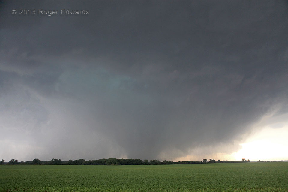
Here is a wide-angle view of the long-lived, nearly stationary Bennington tornado during one of those transitional phases between cleanly visible and rain-wrapped, as a heavy cascade of rain and hail descend through the occlusion downdraft at cloud base (turquoise area). Given its erratic, very slow movement and EF5-level winds sampled by mobile radar, this tornado could have done catastrophic damage simply by grinding away on any given spot for many minutes with 200-mph gusts.
1 NW Bennington KS(28 May 13) Looking W
39.0409, -97.6126
