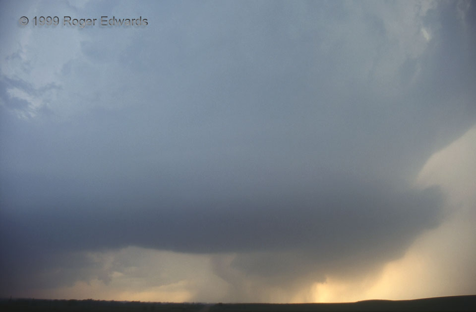
This dense, heavy-precip (HP) supercell, embedded in a broken but solidifying line of storms, was tornadic. That’s not a curved rain shaft at lower middle, to the left of the wall cloud. It’s a tornado from an old, deeply occluded and rain-wrapped mesocyclone. Continuity of observing this storm affirmed this much better than a single-time sample would, such as either this photo, or what you might experience rolling over a big hill to view the whole scene for the first time. Here’s a zoom view I shot within a minute or less. The newer but also rain-wrapping wall cloud at right would host a separate funnel soon.
8 ENE Belmont KS (16 May 99) Looking W
37.5618, -97.8671
