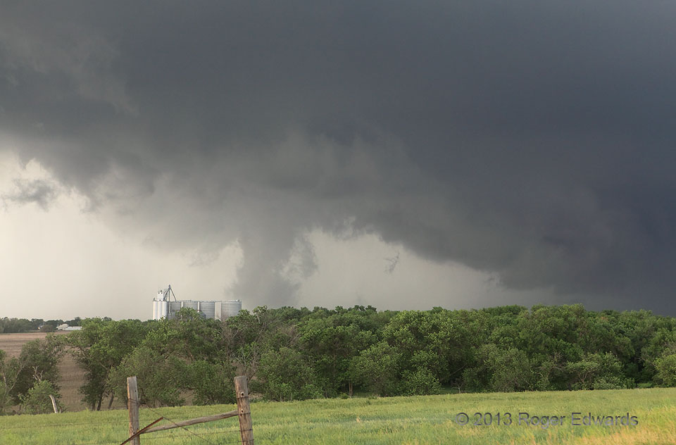
After the McLellan Lake tornado of 20 May 99, I didn’t expect to see another obviously closed, ground-contacting vortex that could compete for the ignominious title of “weakest tornado I’ve seen”. This was that. Under a broadly rotating, seemingly modest mesocycloic notch in this storm’s updraft area, scud began to rise and turn slowly, right up from ground level, gradually condensing into a weakly rotating column. It crossed a rural area justnorth of Bellaire, with no damage reported. This circulation likely was boosted by vertical stretching of baroclinic horizontal vorticity, along the leading part of the outflow slab that would undercut the vortex within another minute or two. The supercell had produced a small, weak tornado near Smith Center, and would crank up a rain-wrapped, strong to violent wedge northwest of Eldon that I barely could see.
1 SSE Bellaire KS (27 May 13) Looking NNW
39.7854, -98.6624
