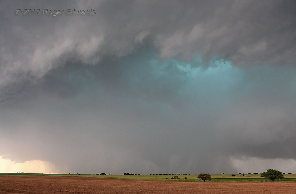
Although a gust front was wrapped well out ahead of the mesocyclone, which itself was enclosed in a cage of rain and hail, somehow enough unstable air still was available to permit a tornado to persist within, the figurative bruin of “bear’s cage” storm-chaser slang. I’ve posted a zoom taken shortly beforehand; and this wide-angle view was the last act before heading out of the way of both the tornado and a cascade of “gorilla hail” (more chaser jargon!) approaching from the right. Fortunately this unnerving and potentially dangerous situation didn’t impinge on the outrageously populous throngs of chasers, media vehicles and local storm-watcher-wannabes who packed the only good east road just south of here and turned it into a slowly-shifting parking lot.
3 WSW Dover OK (19 May 10) Looking WSW
35.9630, -97.9613
