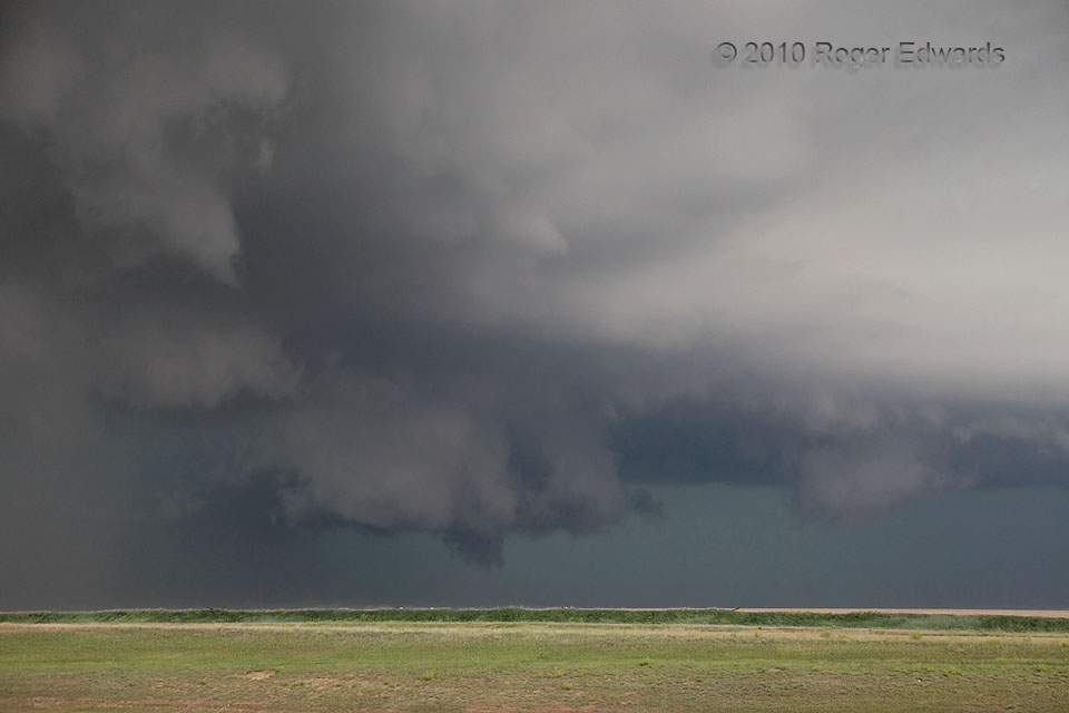
The same supercell that had produced the wildly rotating but rather flat-bottomed Genoa wall cloud merged with a smaller storm ahead of it, quickly developing another mesocyclone in an inflow notch (center), with a surging precipitation area to its south (left). Before that hook of rain and hail cut off our view of the cloud-base area, it offered a modestly yet obviously rotating wall cloud with a scuddy lowering well-centered beneath. Within a few minutes, the gust front from the precip-filled rear-flank downdraft would surge over this location and well around the mesocyclone, while the wall cloud’s parent circulation would retrograde northwestward, well back into a deeply enshrouded corner of the storm where no eyes could claim witness.
Arriba CO (11 Jun 10) Looking NNW
39.288, -103.2682