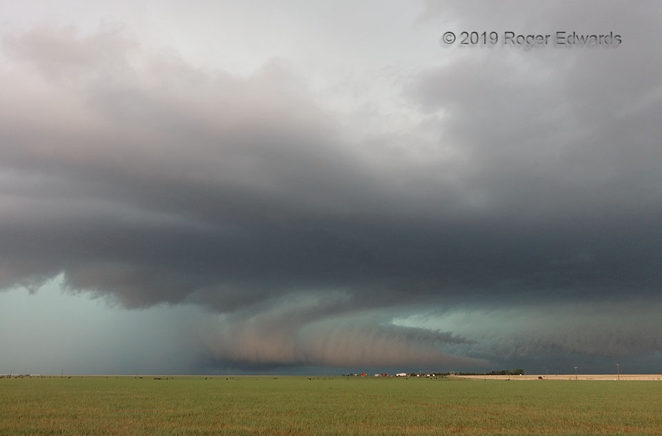
[Part 1 of 4] This messy, heavy-precip (HP) supercell just above the Texas Caprock already had produced a few rainy tornadoes near Tulia, and was fixing to spin up at least another couple brief ones within an intense, wrapping interaction of larger circulations. For now, the fascinating feature was an oddly lit tail cloud, contrasted with a coral-beige hue of eastern late-afternoon light, set against the slate to aqua background of the deep and large supercell. The tail’s laminar tip transitioned to a ribbed, scuddy, convective structure inward (leftward) toward the mesocyclone to the left of center. The shape resembled an armadillo’s tail, with a somewhat higher-based, bonus inflow tail at distant rear. Fast and accelerating right-to-left (north-to-south) motion of the cloud signaled a big increase in mass being processed into the storm, and some kind of rapid strengthening soon to come… [Go to part 2]
4 WSW Vigo Park TX (7 May 19) Looking W
34.645, -101.5644