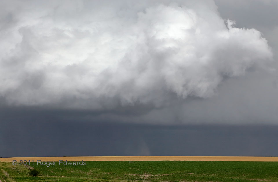
As of this writing, I’ve only seen about a half dozen forward-flank tornadoes in all my time storm observing, and all but one were with this weird, midday supercell! While one at right foreground dissipated under a still-rotating, scuddy part of an updraft base (note faint dark dust rightward of lower center), another persisted in the back, to the SW of the dying circulation. All of these updrafts were riding along or very close to an occluded front, north of the NNE-moving synoptic surface low that (at this time) was not only the anchoring mesocyclone of the supercell, but its main tornado. The occluded front also marked the forward-flank gust front, ensuring reinforcement of already considerable horizontal vorticity to be stretched by these updrafts.
3 S Long Island KS (20 Jun 11) Looking WNW
39.901, -99.5354
