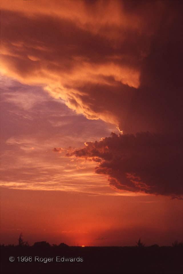
A high-based, weakly rotating low-precip (LP) supercell that had a golden lining now was set aglow with deepening reds from top to bottom, capping off one of my finest storm seasons. [Or so I thought at the time…but who imagined there would be a photogenic tornado event the following October?] By this time, the short-lived but intense central Oklahoma drought had set in. Rain was scant and temperatures often exceeded 100 degrees F, even on this day. The large dewpoint depressions resulting from such high surface temperatures (and deep vertical mixing of the boundary layer during the day) yielded very high storm bases for the low plains: over 5000 feet above ground level. Still, there was just enough heating and convergence to break the cap, and just enough shear to allow storms to rotate, before dying with loss of solar heating. I’m not sure any of its rain ever reached ground level.
Oklahoma City OK (20 Jun 98), Looking WNW
35.3311, -97.3663
