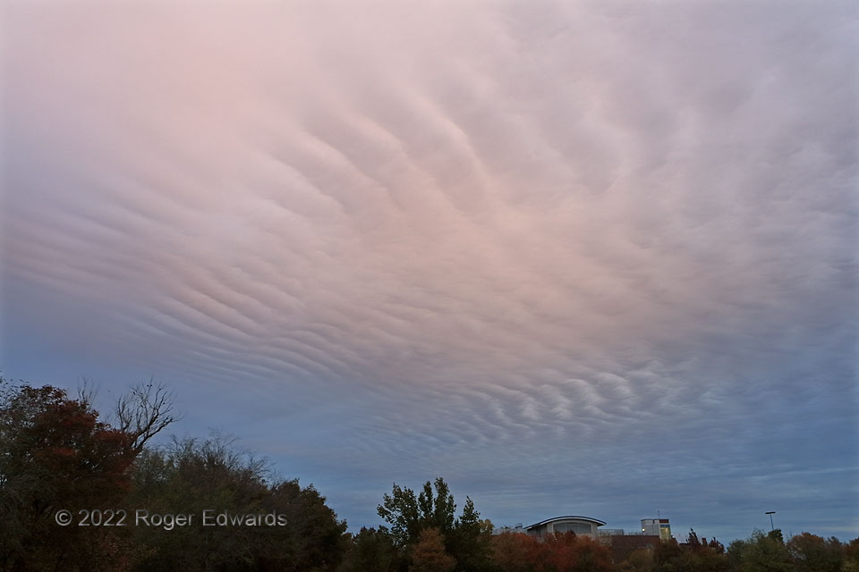
This is among the most spectacular and widespread examples of pure altostratus undulatus I’ve seen—not just because it passed through some filtered sunrise pinks from unseen high clouds above, but because it covered a large percentage of the western and northern sky, as seen from the National Weather Center’s west lawn. Based on the Norman balloon sounding, launched just an hour earlier, these clouds were in a layer near the 700-mb pressure level that also contained southwesterly winds and shear. This makes sense, since all types of billow clouds tend to orient parallel to the shear vector in the layer they occupy, and these aligned southwest–northeast.
Norman OK (14 Nov 22) Looking N
35.1818, -97.4409
