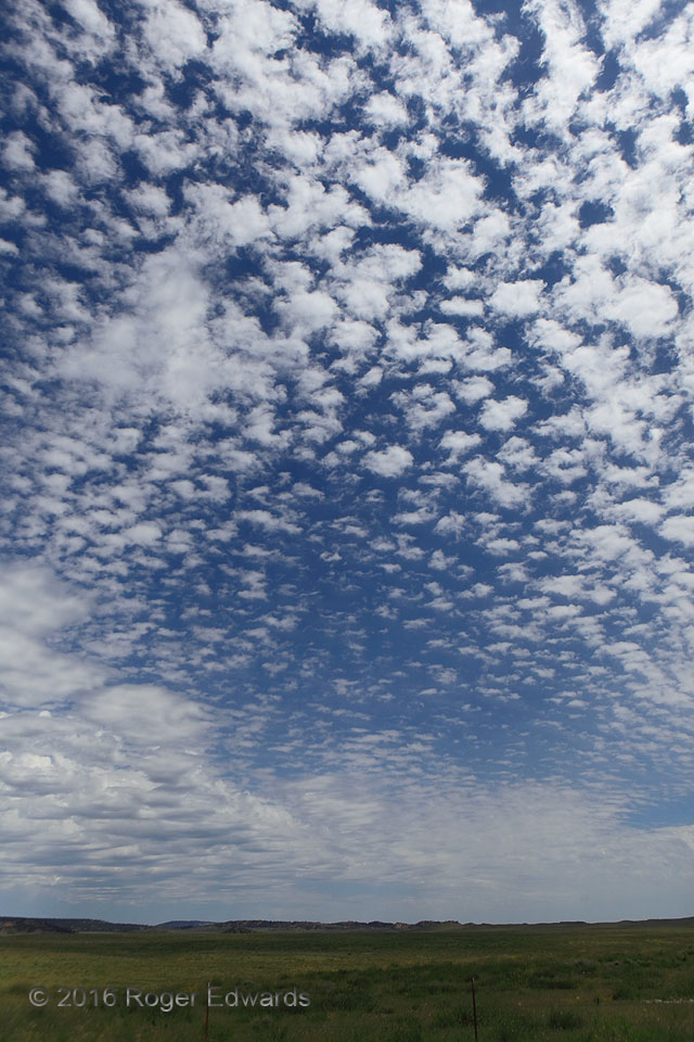
A flock of altocumulus crossing the midday sky represents instability in the middle troposphere, and when low-level conditions are favorable, often portends an active afternoon and/or evening of convection. Indeed, a tremendous, significantly severe supercell, at the tail of a larger storm complex, rolled across the northern tier of Montana into Glasgow late that afternoon. The clouds at lower left, a loosely undulating form of high-based stratocumulus, represent another destabilizing influence: low-level warm advection and moistening above the boundary layer. I often refer to them as “warm-advection clouds”. Finally, direct solar heating of the surface yielded suitable instability. Considering only this photo, without even looking at a weather map, the nearby results of the day should not be surprising to any seasoned sky watcher.
8 SW Zortman MT (18 Jun 16) Looking NE
47.8164, -108.6368