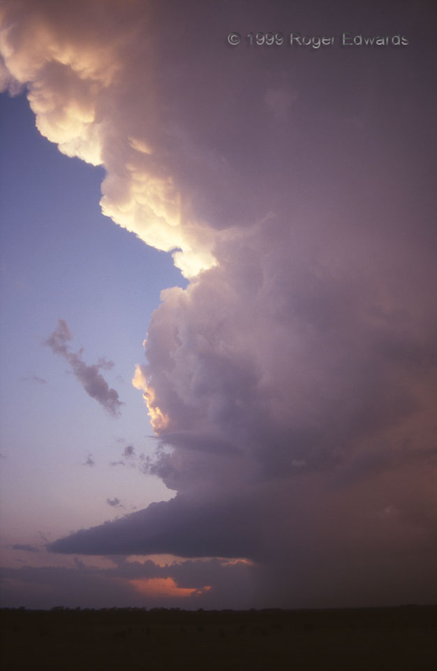
This cumulonimbus had a narrow updraft and forward-flank core area, opaque enough to see the subtle refracted reds of sunset through both the updraft tower and precip core at right. But it was merging with a larger cell just to its north (right side, out of picture); and the combined storm would rapidly wind up into a tornado-producing supercell after dark. Just when I thought I was taking in the end of the day’s sky show, Act Two was yet to begin! The pretornadic supercell also would put on a nice electrical display after dark.
5 WNW Gould OK (2 Apr 99) Looking W
34.6819, -99.8595
