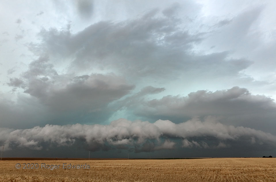
Many thunderstorm complexes with deep cold pools produce tiered shelf formations on their leading edges, especially when impinging on a boundary layer that is stabilizing with the loss of afternoon solar heating. It’s not very common to see four such layers, however, extending well into the midlevels. They’re easy to count, stacked one above the next. One even can argue a thin, partial fifth layer, consisting of the very lowest pieces of fractocumulus scud below the main convective tier. Above those clouds, the tiers get more laminar with height in this case, since the lift is shallower and more subtle aloft than near the surface. The lowest, scuddiest, most convective feature still hoists a buoyant and favorably moist, surface-based air layer, despite its having cooled a few degrees since peak temperatures. All of this made for an eye-catching, beautiful, deeply textured, fluid scene across the northwestern Oklahoma section op the Great Plains. This process was about to merge with another storm cluster to the west, producing an intense bow echo with a spectacularly defined arcus.
3 ENE Rosston OK (21 Jun 20) Looking NW
36.8278, -99.8908
