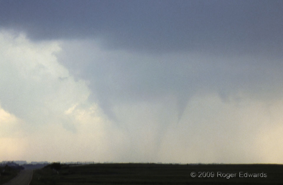
[Part 3 of 3] As the original condensation funnel for the Belmont tornado (left) became ragged, with its dust/mud sheath weakening, another formed separately to its north, from a newer (yet also rain-wrapped) mesocyclone. The older vortex, originating in an earlier mesocyclone, was starting to orbit the southeast side of the newer one, behaving somewhat like a satellite funnel (even though it technically wasn’t). The newer funnel cloud lasted several more minutes after the first one soon disappeared; but it grew no lower than this, and had no evidence of debris. Therefore I could not report it as a tornado, with certainty. The fuzzy, potentially misleading, funnel-shaped feature in between actually was a tilted rain shaft in the more-distant rear. This unusual evolution definitely exercised the storm-spotting brain! Within half an hour, the HP (heavy precipitation) storm had merged into a dense line of thunderstorms, losing visual supercell characteristics. [Back to Part 1]
8 ENE Belmont KS (16 May 99) Looking W
37.5618, -97.8671
